Search
Geology & Fossils
The Avalon Peninsula is a composite of two landmasses originally parts of Britain and North Africa. The Avalon now forms the easternmost part of the island of Newfoundland. Over millennia the Peninsula has been subject to volcanic activity and in more recent times numerous periods of glaciation.
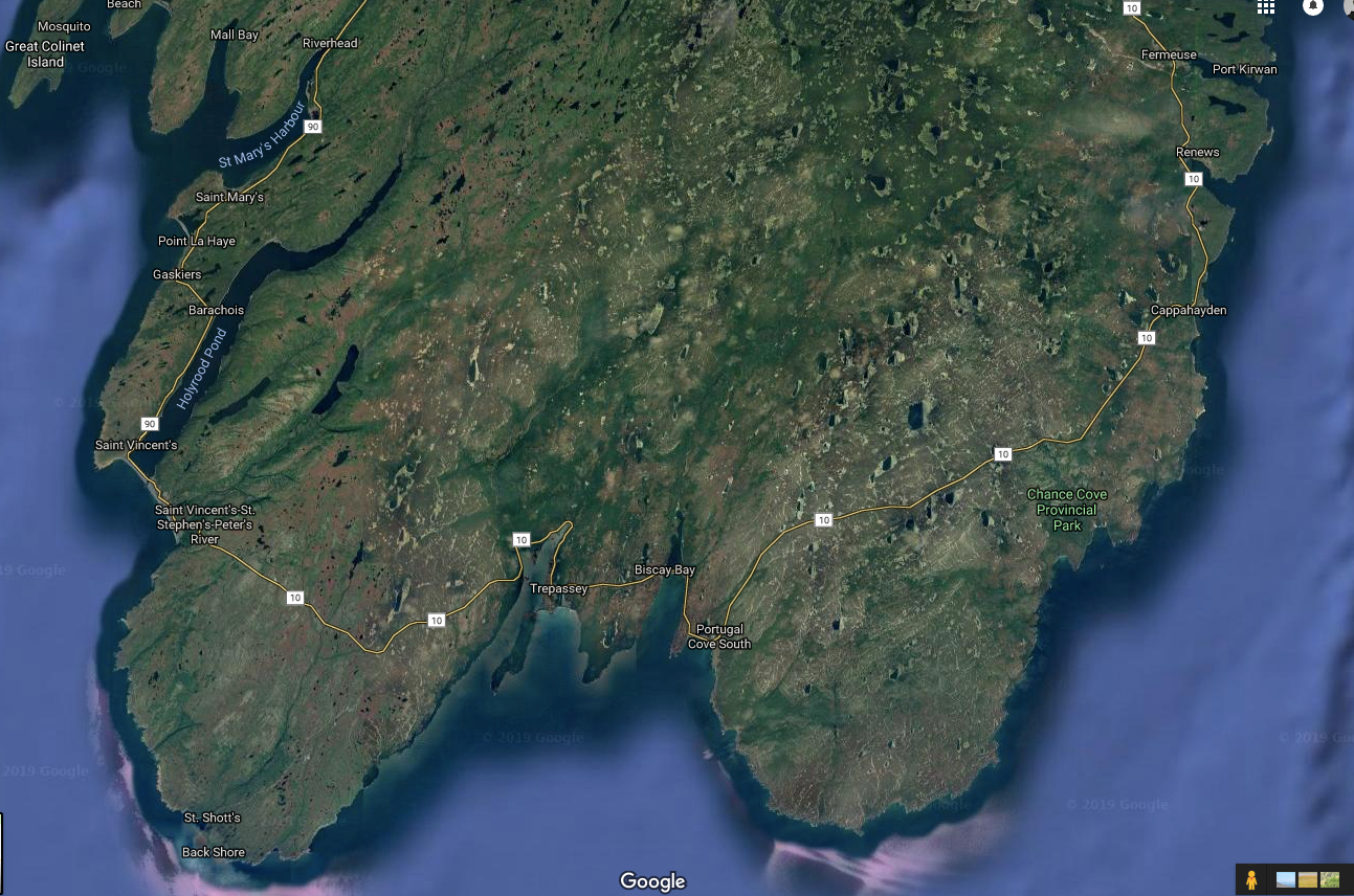
The southeast Avalon is bordered in the north and east by a range of ancient granite hills, which form the southern and eastern boundaries of the remote Avalon Wilderness Area. (The Wilderness Area is accessible only by permit and is not included in this guide.) The granite hills rise from sea level to their highest point of 286 metres (931 feet) at the Butterpot, a flat-topped hill which you can see directly west of Renews. In the west this region is defined by a drowned fjord known as Holyrood Pond that extends 25 kilometres (16 miles) north from the village of St Vincent’s. Holyrood Pond also roughly defines the western boundary of the Avalon Wilderness Area.
The hills are the headwaters for the area’s main drainage systems: Renews River, Chance Cove River, Portugal Cove South Brook, Biscay Bay River, Northeast and Northwest Brooks in Trepassey, Peter’s River, and Holyrood River which flows into Holyrood Pond.
 https://www.google.ca/maps/@46.9753984,-53.6828624,78248m/data=!3m1!1e3
These river systems terminate in the fine sheltered harbours at Renews and Trepassey and large barachois (interior ponds and meadows separated from ocean beaches) at Chance Cove, Portugal Cove South, Biscay Bay and St. Vincent’s. Where barachois exist there are no safe moorings. It is not surprising that the harbours at Renews and Trepassey have always been the main areas of human settlement in a remote area totally dependent for centuries on the fishery and transport by sea.
The Mistaken Point Fossils – A World Heritage Treasure
In 2016 the fossils at Mistaken Point, accessed from the Cape Race Road, were declared a World Heritage Site. The following excerpt from a Newfoundland government website explains their significance:
Imprinted upon over 100 of the bedding planes within Mistaken Point's tilted and cleaved sequence of mudstones and sandstones are fossils of the oldest, large, complex life-forms found anywhere on Earth. Known to scientists as the Ediacara biota, these creatures lived from 580 to 541 million years ago, when all life was in the sea.
The oldest and most spectacular assemblage of these fossils - the Mistaken Point assemblage (580 to 560 million years old) - is preserved in Mistaken Point Ecological Reserve. The Reserve is the best place in the world where you can view a 565-million-year-old sea floor that accurately preserves the ecology of these ancient deep sea communities.
The organisms whose fossils now form the Mistaken Point assemblage lived on the bottom of a deep ocean, considerably below the depths that waves or light could reach. At the time, what is now the Avalon Peninsula of Newfoundland was located between latitudes 40° - 65° South. More than 30 species (20 of which occur within the Reserve) comprise the Mistaken Point assemblage, most of them representatives of extinct groups unknown in our modern world.
Normally, when marine animals die, only bones, shells, and other hard parts are preserved as fossils. The soft-bodied creatures at Mistaken Point lived millions of years before animals developed skeletons, but the imprints of their soft tissues were preserved in place on the muddy sea floor when they were suddenly buried by repeated influxes of volcanic ash-rich sediment. The volcanic ash layers contain crystals of the mineral zircon, which enable geologists to accurately date them. Ediacaran fossils also occur in Russia, Australia, China and Namibia, but the age, abundance and variety of those found at Mistaken Point make the site unique.
Access to the fossil site is by guided tour only. For more information, see here: http://www.flr.gov.nl.ca/naturalareas/wer/rmpe
http://alvanbuckley.blogspot.ca/2015/05/mistaken-point-fossils.html.